Welcome to
Torino
City Lab


Torino City Lab è
È un’iniziativa volta a creare condizioni semplificate per imprese e altri soggetti interessati a rispondere a Challenge specifiche aperte in risposta a concreti bisogni del territorio, della PA e dei cittadini, testando la propria soluzione o idea d’impresa in condizioni reali sul territorio.
Promosso dalla Città di Torino, Torino City Lab coinvolge un vasto partenariato locale e internazionale di attori pubblici e privati interessati a sostenere e far crescere l’ecosistema locale dell’innovazione.
Smart Life
Tecnologie emergenti applicate al vivere urbano
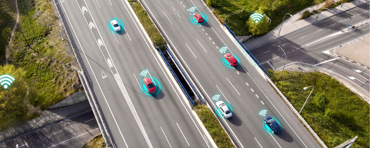
Future Mobility
Nuovi scenari di mobilità e trasporto urbano di persone e merci
Climate Neutrality
Soluzioni innovative con l’obiettivo di diventare una net-zero City al 2030
Mission
Facilitare le operazioni di testing in condizioni reali di soluzioni innovative di interesse pubblico.
La Città di Torino offrirà un supporto costante per favorire l’accesso e poi facilitare la conduzione delle sperimentazioni, nei rapporti con i Servizi Interni e con le Utilities.
Values
I Valori di Torino City Lab sono: agilità, trasparenza, apertura e impatto sociale. Per fare di Torino il “luogo” dove sperimentare il domani è un compito di oggi!
Agilità nella gestione delle attività | Trasparenza dei processi | Apertura al confronto con soggetti chiave dell’ecosistema locale.
Vision
Posizionare Torino a livello europeo e internazionale come un luogo dove innovare è più semplice ed è una sfida condivisa dal territorio.
Attrarre imprese dall’Europa e dal mondo per innestare all’interno dell’ecosistema locale nuove traiettorie di sviluppo economico in settori ad elevato valore aggiunto ed al servizio dei cittadini di domani.
Da Torino Living Lab a Torino City Lab
Torino City Lab affonda le sue radici in Torino Living Lab, un’iniziativa della Città di Torino, nata a ottobre 2018, volta a promuovere, sviluppare e testare nuove soluzioni innovative in un contesto reale.
Per la prima volta cittadini, imprese e pubblica amministrazione esplorano e sperimentano insieme prodotti, tecnologie e servizi innovativi in un’area specifica della città, con l’obiettivo di testarne funzionalità e utilità per gli utenti finali e valutarne gli effetti sulla qualità della vita.

2016
Lancio Living Lab
Nel 2016, la Città ha lanciato il suo primo living lab nel quartiere Campidoglio, che grazie all’attivazione di 29 sperimentazioni su diversi ambiti quali ambiente, mobilità e turismo è diventato il primo spazio urbano torinese dedicato all’innovazione e alla smart city. Con un secondo bando, lanciato a fine 2016, la Città ha ricercato soggetti per realizzare attività di sviluppo, testing e promozione di servizi di Mobile Payment utilizzabili presso l’Anagrafe.
2018
Programma per le Periferie AXTO
Nel 2018 è l’economia circolare e collaborativa il focus del Living Lab lanciato nell’ambito del Porgramma per le Periferie AXTO. 8 le aziende che ricevono contributi economici per progetti in grado di rispondere alle sfide sociali e migliorare la qualità della vita nelle aree target del programma AXTO. Nasce ufficialmente Torino City Lab.
2021
CTE NEXT
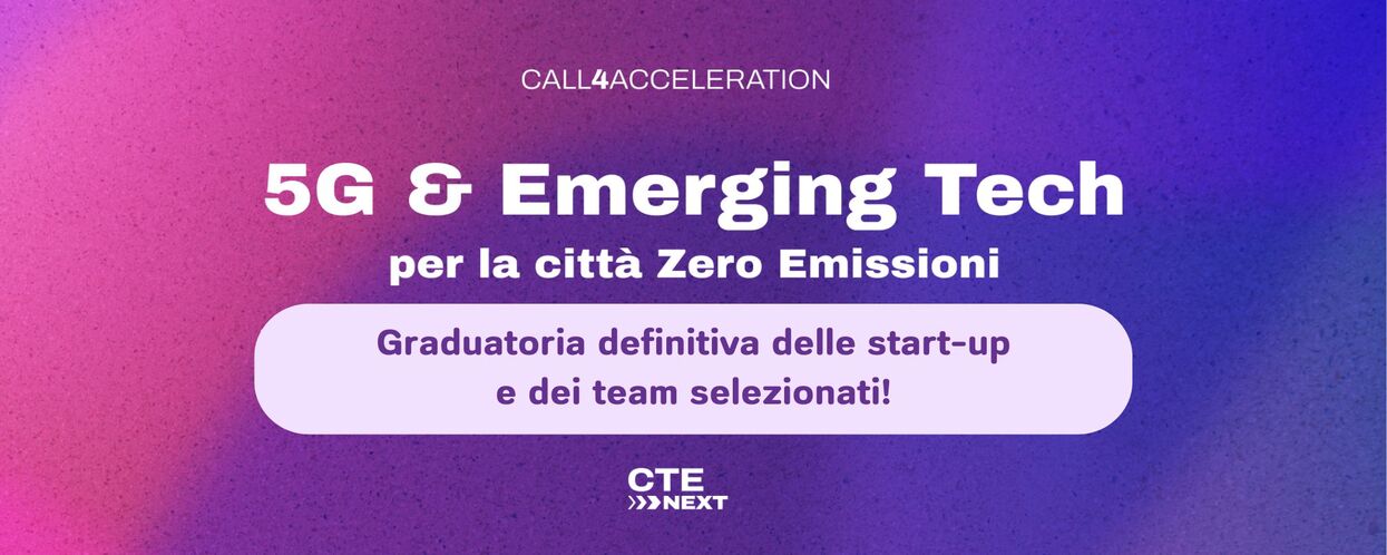
La Città di Torino si è fatta promotrice della candidatura per la realizzazione della Casa delle Tecnologie Emergenti (CTE NEXT) in stretta collaborazione con gli Atenei Torinesi e altri partner strategici. CTE NEXT, primo spin-off di Torino City lab, è un progetto finanziato dal Ministero dello Sviluppo Economico con l’obiettivo di creare una “casa diffusa” di trasferimento tecnologico in ambito 5G e tecnologie emergenti in settori chiave per Torino: Smart Mobility, Urban Air Mobility, Industria 4.0 e Servizi per la Smart City.
2022
Mission City
La Città di Torino rientra ufficialmente fra le 100 città europee che si impegnano a diminuire le emissioni entro il 2030, diventando anche una “Mission City”, ovvero un hub di sperimentazione e innovazione in ambito climatico, esempio virtuoso per tutte le altre città europee.
In questa cornice, Torino City Lab rilancia la propria mission mettendosi a disposizione di questa sfida promuovendo sperimentazioni funzionali alla transizione ecologica e digitale e confermandosi un laboratorio aperto di innovazione per la smart life.
2023
Living Lab ToMove
Nel 2023 nasce il Living Lab ToMove del Comune di Torino che si innesta ed amplia scopi e facilities di Torino City Lab e CTE NEXT, perseguendo anche in via trasversale gli obiettivi di sostenibilità energetica ed ambientale. ToMove è un Living Lab diffuso sul territorio della città e focalizzato sullo sviluppo di nuovi scenari di mobilità urbana smart e sostenibile, che utilizzino soluzioni innovative di mobilità cooperativa, connessa ed autonoma, integrandole nel paradigma della «Mobility as a Service».
Iscriviti alla newsletter di Torino City Lab
Le novità di Torino City Lab e le sue iniziative!